UAV data acquisition and management for multitemporal surveys of archaeological sites.
Aerial photogrammetry is a powerful technique that can be used for recording and analyzing excavation phases of archaeological sites. Based on the authors experience, there are some strategies that can speed up the data acquisition, processing and analysis steps. This works aims to underline best practices and lesson learned in the scenario of UAV data acquisition and management for multitemporal surveys of archaeological sites with a photogrammetric approach.

Workflow steps(5)
2 Georeferencing the surveyed data: Using a GNSS receiver for precise positioning of Ground Control Points
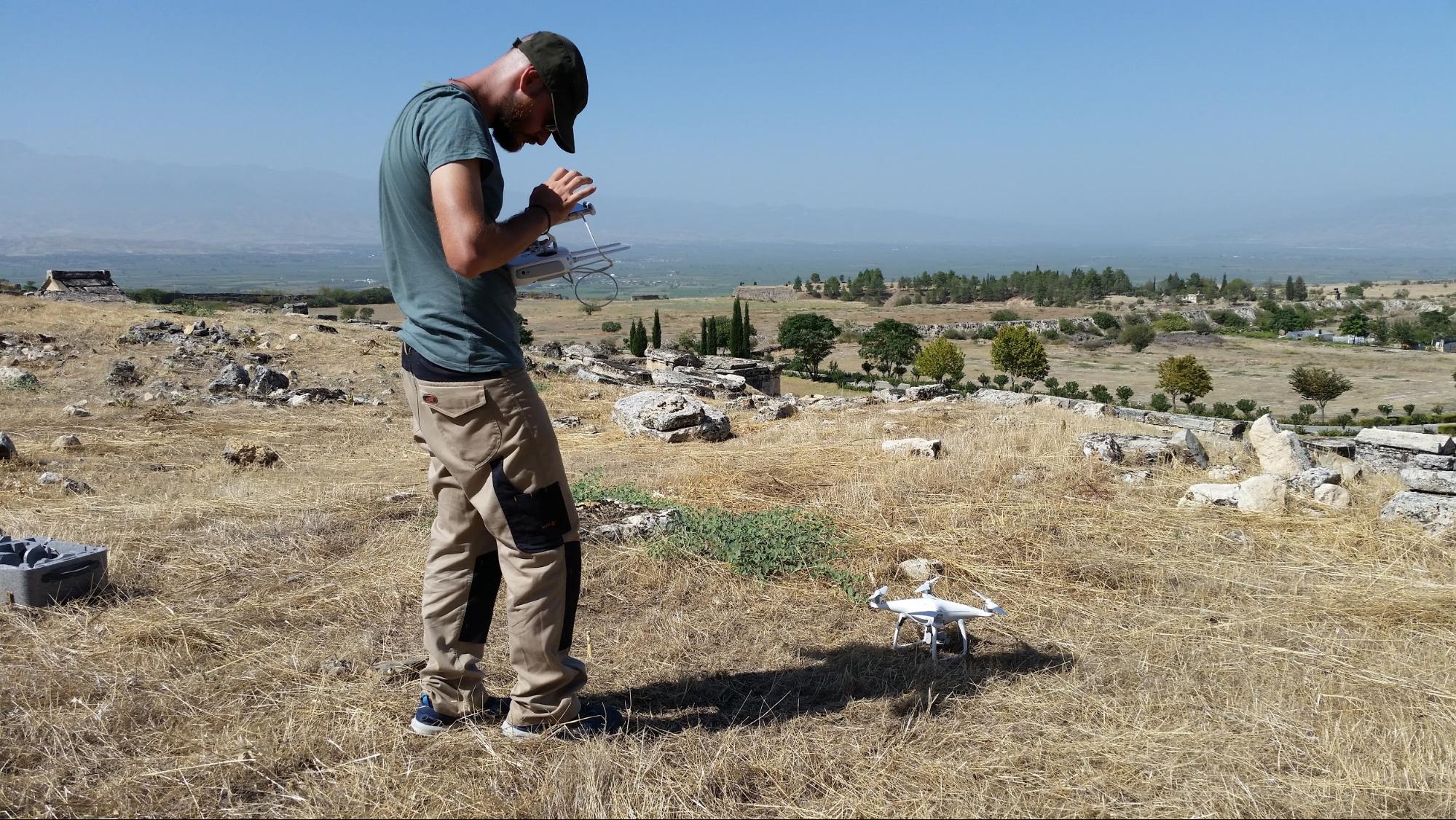
3 UAV Data acquisition: Using the drone for acquiring aerial images of the site
4 Data processing: Create a 3D model of the site using the acquired images
5 Data analysis: How to use the generated 3D model for study the site
The SSH Open Marketplace is maintained and will be further developed by three European Research Infrastructures - DARIAH, CLARIN and CESSDA - and their national partners. It was developed as part of the "Social Sciences and Humanities Open Cloud" SSHOC project, European Union's Horizon 2020 project call H2020-INFRAEOSC-04-2018, grant agreement #823782.

