GRASS GIS
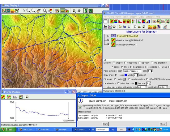
GRASS GIS is free and open source software used for geospatial data management and analysis, image processing, graphics/maps production, spatial modeling, and visualization. GRASS is currently used in academic and commercial settings around the world, as well as by many governmental agencies and environmental consulting companies.
Comparison to QGIS: Like GRASS, QGIS is free, open source, developed by volunteers, and has a robust and active online user community. However, GRASS is mainly used for highly technical purposes and mathematical analyses. For more details, see this Stack Exchange thread. QGIS and GRASS do cooperate with each other; Plug-ins and extensions allow GRASS functions to be used inside QGIS.

The SSH Open Marketplace is maintained and will be further developed by three European Research Infrastructures - DARIAH, CLARIN and CESSDA - and their national partners. It was developed as part of the "Social Sciences and Humanities Open Cloud" SSHOC project, European Union's Horizon 2020 project call H2020-INFRAEOSC-04-2018, grant agreement #823782.

